DESCRIPTION
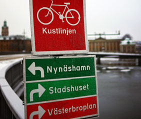
More than 500 cycling routesIn total the series contain approximately 550 different cycle routes. The maps contain different types of routes: from routes stretching throughout the country to local routes of just a few kilometers. You can easily follow a route in the map as all routes are named. More info about cycle routes and swedish roads. |
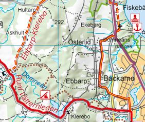
Gravel or asphalt?The maps contain information about the paving of the routes: asphalt has a solid line and gravel a dashed line. You are also informed whether the route is signposted (red) or not (red/yellow). |
|
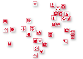
Thousands of points of interestCykelkartan contains a large amount of different points of interest; everything from rune stones to hostels and camping sites. On each map there is a list of web addresses and phone numbers to tourist agencies that are marked on the map, which can give further information about each route. |
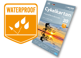
For all weather conditionsCykelkartan is printed on Polyart, a special paper with high water- and tear resistance and can stand many folds in all directions. The water resistance and the format make it easy to use and suitable to bring outdoors. |
Quality assuredThe stretch of the cycle routes has been clearly marked in the map in cooperation with Cykelfrämjandet. |
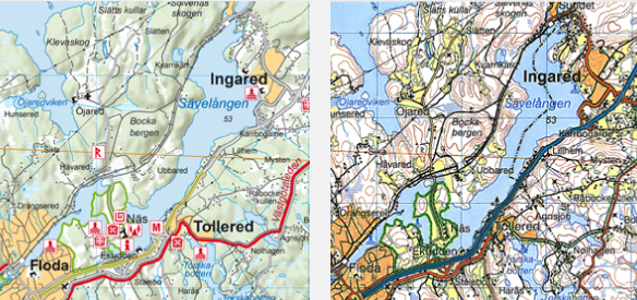
Norstedts Cykelkartan
Lantmäteriets Vägkartan ©
|
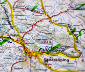
Easy to surveyThe appearance of the maps, which are in scale 1:90 000 and based on Lantmäteriets GSD-vägkartan, has been adapted to clearly show cycle routes. They are also designed so that you may easily navigate through the other road network by bicycle (largely all bikeable roads are included). To get a more readable routemap, terrain shadowing has been used instead of contour lines, which also gives a clear image of the structure of the landscape. |
|
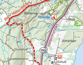
Competition and exerciseA selection of the bigger annual bike races (e.g. Vätternrundan) is shown in the map series and marked in a specific colour. The bike races often take place on larger roads and should not be seen as a recommended cycle route during other times of the year. |
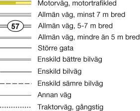
Large or small roadsThe roads in the maps are classified by road width and provided with road numbers. Apart from roads you cannot or are advised not to bike upon, the whole road network are grey coloured in the map. This applies to freeways, expressways and roads separated by wire, marked in yellow. |
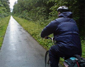
Cycling on railway embankmentIn many places in Sweden, expansion of cycle routes on closed railway embankments is in progress. The bikeability on these may differ and you are recommended to gather information on the railway embankment in question beforehand. They are not always signposted, but, as they are easy to follow, they are marked in the map as if they were. |
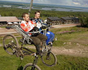
Of routeThe maps contain a selection of so called Bike Parks where you can cycle on landscaped tracks. The maps have also been complemented with ferry services as many cycle routes run along the coast and the big lakes. Please be aware of that the ferry services may differ throughout the year. |
 Bike friendly accommodation/
|

Bike packagesFrom 2014 we cooperate with Sweden by Bike. You can find more information about the cycle routes in our maps, lovely bike packages, bike friendly accommodations and bike hire from the bare mountains in the north to Skåne in the south. The symbol
|
|
|
|
Luggage transportA service for individuals and companies to easily transport luggage during cycling and hiking trips. The luggage transport service is provided by Sweden by Bike AB in association with Jetpak Sverige AB. |


 Highly up-to-date
